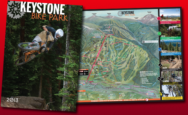
This year is my 20th year producing the Keystone Mountain Bike Trail Map.
2013
1994
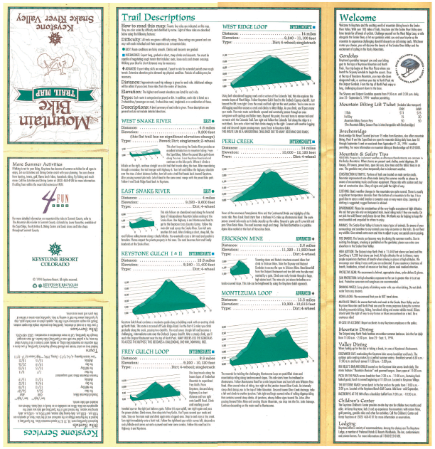
I designed the resort’s first bike map in 1994.
It was pretty crude. I was scanning in old USGS paper maps, stitching them together in Photoshop and drawing the trail overlays in Aldus (Macromedia?) FreeHand. (I still prefer FreeHand to Adobe Illustrator, but that’s a rant for a future post!)
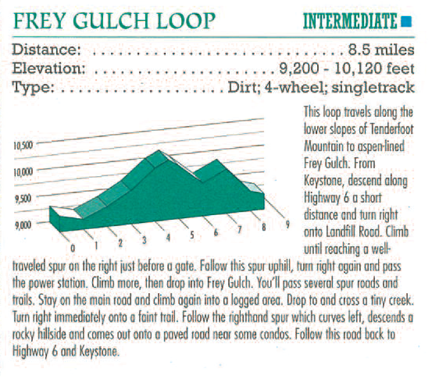
Sometimes when I look back at old art I cringe, but I do still like these isometric elevation profiles.
2001
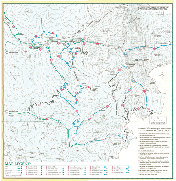
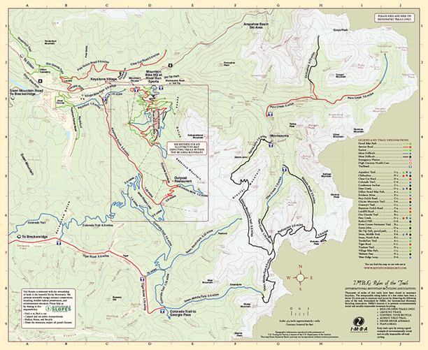
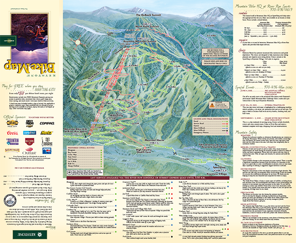
Around 2001 we updated the topographic maps a bit:
… and added the illustrated bird’s eye trail map of the lift-served terrain on the front side of Keystone Mountain:
2004
In 2004 we dramatically improved the topography by adding shaded relief and increased the overall size.
2006
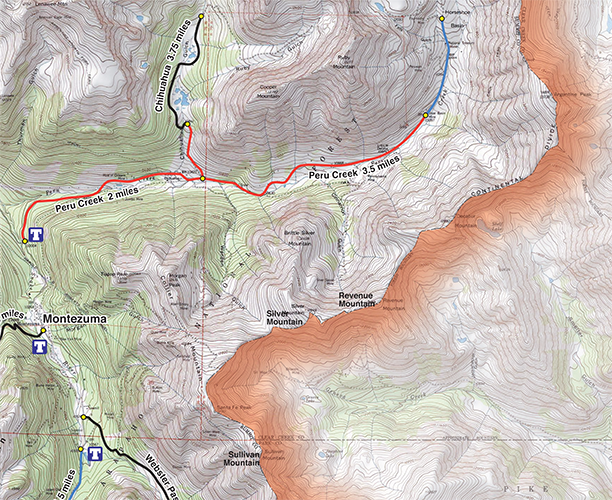
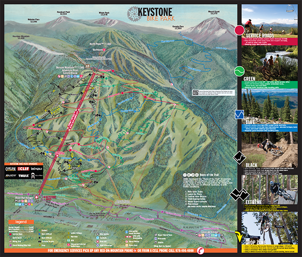
By 2006 the sport was quickly evolving and expanding. The lift-served terrain was moving toward a “downhill-only” experience; trail runners and uphill bikers were feeling the pressure to move elsewhere. This put a greater pressure on the surrounding areas (covered on our topographic map). In turn, it was creating access and trailhead parking congestion, so the Forest Service urged us to eliminate the topo side and focus on the on-mountain trails.
2013
The map has bobbed and weaved over the years—what’s next? Stay tuned!
For official resort information visit Keystone Resort
(Thank you: Margie, Brian, Adam, Jim, John, John, Bill, Gina, Mark, Kate, Flip, Jeff, Liz, Anita, Kerstin, Craig, Lee, Katie, Boyd and the countless others who have helped me on this and have trusted me to keep it going.)
Tagged with: Colorado, Illustration, Map Design

